On July 20th, Boston officials released a summary of a $10 billion draft plan to build new defenses fortifying the city’s 47 miles of coastline against flooding and sea level rise.
“As Boston confronts an estimated more than four feet of sea level rise by the end of the century, the 20 proposed projects could offer a once-in-a-generation opportunity to transform the waterfront. But with federal dollars in flux, and city and state budgets strapped for funds, the question of who will pay looms,” writes Kate Selig in her report for The Boston Globe.
“Though the plan’s price tag is steep, city officials said it pales in comparison to the cost of doing nothing. The Army Corps estimates that Boston would face more than $54 billion in losses between 2040 and 2090 if it does not act, including damage to critical infrastructure and businesses. Logan Airport, the Mass Pike, the MBTA, and hospitals are all vulnerable to flooding.”
New construction is not expected to begin until the 2030s and would continue for decades. While the US Army Corps of Engineers emphasizes new infrastructure to impede flooding, Boston officials are looking to include features like public parks and boardwalks. “The emphasis on engineered structures concerned some climate advocates who had hoped to see more nature-based solutions in the plan. These approaches, which mimic natural processes, include planting oyster reefs and restoring salt marshes to reduce flood risk.{
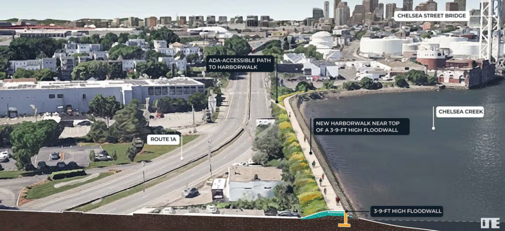
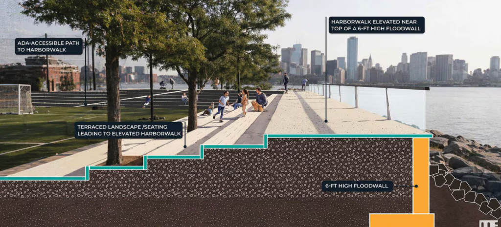
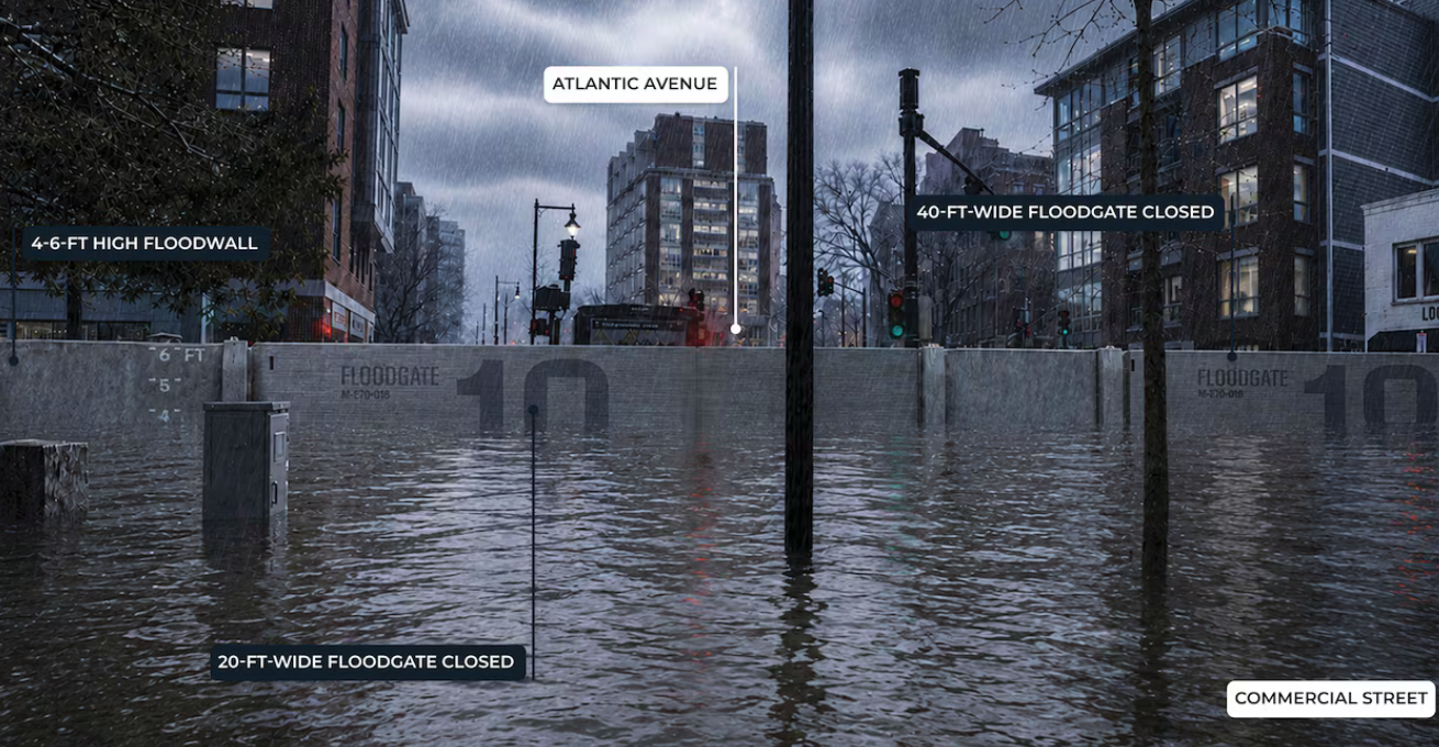
Here are two preliminary renderings provided by the City of Boston. One shows the Route 1A corridor north of the city; the other shows a proposed flood wall at LoPresti Park in Eastie. The feature image depicts a floodgate spanning Commercial Street.